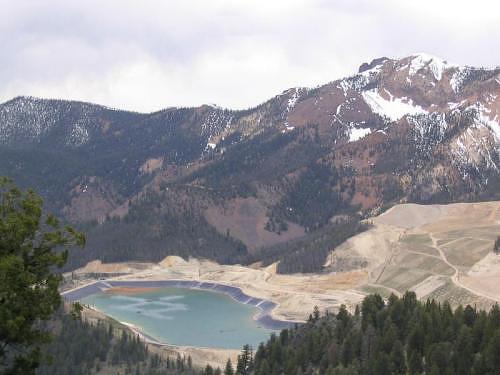
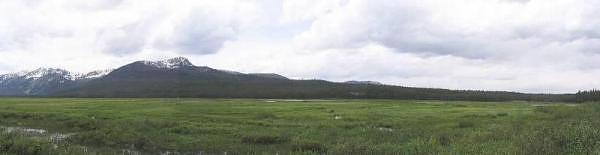
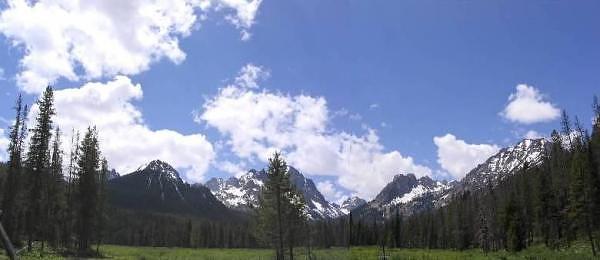
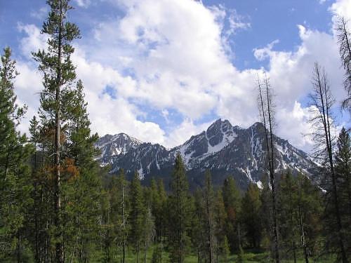
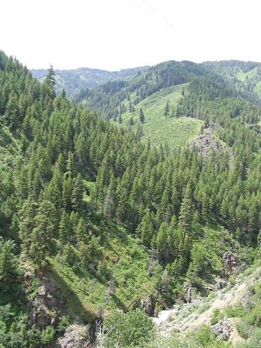
While it was a short drive that we did to wait out some stormy clouds, we were treated to some wonderful views of the Sawtooth Mountains, Stanley Lake, and Elk Meadow from this little drive.
GPS Info
We collected all of the following data from our GPS unit during the adventure:Maps
This Google Map is provided by GPS Visualizer
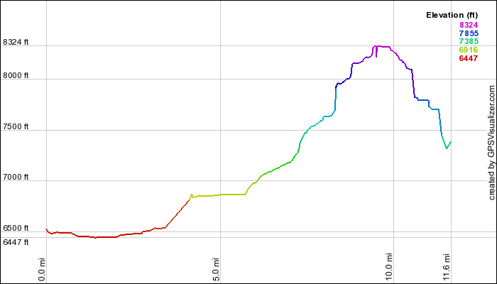
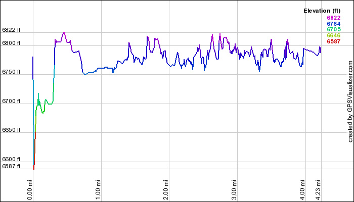
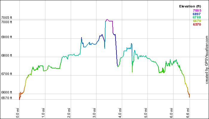
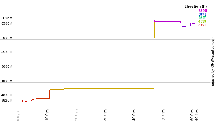
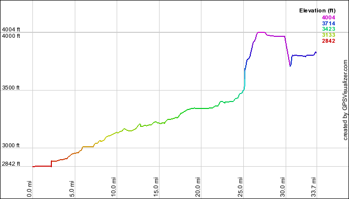
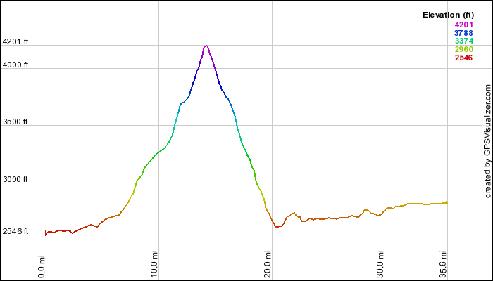
Elevation Profile
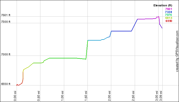
This profile is provided by GPS Visualizer
Coordinates and other details
| 3.1 Miles 32:38 6 Miles/Hr. N 44º 14.752, W 115º 03.964 N 44º 15.297, W 115º 04.122 |
If you want to view this in Google Earth, you can download the KMZ files of the track and topographic overlay.