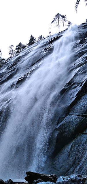
In an effort to assess physical preparedness for a possible multi-day backpacking trip in August, Mike loaded up his pack with 30 pounds of gear for a day hike to Serene Lake and Bridal Veil Falls on the Fourth of July. Chosen for its difficulty, this hike was 8.6 miles round-trip with 3000 feet of elevation ascent. Knowing of the popularity of this destination, Mike arrived at the trailhead at 6:45 AM for easy parking--only 10 other cars were there at that time of the morning.
Trying to keep count of hikers along the way, he counted approximately 250 on the hike to and from Serene Lake, and another 150 past Bridal Veil falls! That's a lot of hikers on one trail as attested by the fact that both parking lots filled, and cars still had to park along the forest road as well.
GPS Info
Here is the data from the GPS unit:Maps
Elevation Profile
This profile is provided by GPS Visualizer
Coordinates and other details
|
8.6 Miles |
|
2904 Feet |
|
6:32:02 (total), 4:47:58 (moving) |
|
1.31 MPH (total), 1.78 MPH (moving) |
|
N 47° 48.553, W 121° 34.400 |


No comments:
Post a Comment