Sunday, January 13, 2008

Bogus Basin Tubing

During the winter break, Mike took Amelia & Raymond to the tubing hill at Bogus Basin Ski Resort.  While it was about 37 degrees , the wind was blasting snow in our faces at about 25 miles per hour.  We could only handle the biting cold for an hour and a half of our two-hour session on the hill.  The kids had a blast anyway, and I'm sure we'll be heading back up there.  While we didn't take any pictures, we did want to show our GPS data that indicates tube speeds of up to 25 MPH, coming down the 800-foot long hill.


GPS Info

We collected all of the following data from our GPS unit during the adventure:

Maps


This Google Map is provided by GPS Visualizer

Elevation Profile


This profile is provided by GPS Visualizer

Speed Profile


This profile is provide by GPS Visualizer

Coordinates and other details

  • Mileage: 
  • Time: 
  • Average Speed: 
  • Trailhead Coordinates: 
0.6 Miles
00:28
1.3 Miles/Hr.
N 43° 41 52.26, W 116° 6 31.74

 
If you would like to use this info with your GPS unit, the full GPX file is here.
If you want to view this in Google Earth, you can download the KMZ files of the track and topographic overlay.

Monday, December 31, 2007

Pilgrim Loop Showshoe

During the winter break, Mike took Amelia & Raymond snowshoeing near Idaho City.  They found a nice loop trail that wandered peacefully through the snow-covered forest.  Mike enjoyed the fresh air and snow.  The kids enjoyed getting back to the car--and a thermos of hot apple cider--as it was about 20 degrees outside that day.


Snow-covered trees in the Boise National Forest.


GPS Info

We collected all of the following data from our GPS unit during the adventure:

Maps


This Google Map is provided by GPS Visualizer

Elevation Profile


This profile is provided by GPS Visualizer

Coordinates and other details

  • Mileage: 
  • Time: 
  • Average Speed: 
  • Trailhead Coordinates: 
0.6 Miles
00:28
1.3 Miles/Hr.
N 43º 57.747  W 115º 37.698


If you would like to use this info with your GPS unit, the full GPX file is here.
If you want to view this in Google Earth, you can download the KMZ files of the track and topographic overlay.

Saturday, December 29, 2007

Lucky Peak Snowshoe

During the winter break, Mike took Amelia & Raymond snowshoeing near Idaho City.  They found a nice loop trail that wandered through the snow-covered forest.  Fortunately, it was a short trip, because both of the kids complained about getting cold--it was about 20 degrees


A seven-frame panorama from the ridge on the hike.  The turnout on the road in the middle of the picture is where this adventure started.  (Click on the picture to see it in full size.)


GPS Info

Mike collected all of the following data from our GPS unit during the adventure:

Maps


This Google Map is provided by GPS Visualizer

Elevation Profile

This profile is provided by GPS Visualizer

Coordinates and other details

  • Mileage: 
  • Time: 
  • Average Speed: 
  • Campsite/Trailhead Coordinates: 
0.8 Miles
1:22
0.6 Miles/Hr.
N 43º 37.608  W 115º 59.278


If you would like to use this info with your GPS unit, the full GPX file is here.
If you want to view this in Google Earth, you can download the KMZ files of the track and topographic overlay.

Saturday, October 13, 2007

Corn Maze - 2007

Boise's Corn Maze has operated every autumn for a decade now.  There have been a lot of fun maze designs over the years.  This one was a pirate ship, complete with exploding cannon!  The family took about an hour to negotiate both mazes, totaling a little over a mile of wandering.  We might still be there had we not let Raymond take over.  With the map of the maze in hand, Raymond was able to negotiate every turn without ever getting disoriented.  Way to go, Raymond!


GPS Info

We collected all of the following data from our GPS unit during the adventure:

Maps


This Google Map is provided by GPS Visualizer

Coordinates and other details

  • Mileage: 
  • Time: 
  • Average Speed:   
  • Coordinates:
1.2 Miles
00:55:44
1.3 Miles/Hr.
N 43º 31.613, W 116º 23.773


If you would like to use this info with your GPS unit, the full GPX file is here.
If you want to view this in Google Earth, you can download the KMZ files of the track and topographic overlay.

Monday, August 20, 2007

Washington Loop

After months of planning a summer vacation to Glacier National Park in Montana, we found ourselves just a couple of days away needing to change plans.  With all of the lightning-induced fires that have plagued Idaho and Montana this summer, we took one last look at the webcams in the park, and decided that it just wasn't going to be an enjoyable trip with all of the smoke up there.

We weren't too terribly disappointed, however.  Now that we live in the Northwest, there are oodles of places we want to go explore.  On a whim, we chose Washington state.  Suzanne and the kids had never been to Washington before, and since it is the Evergreen State, it wasn't suffering from the smoke as bad.

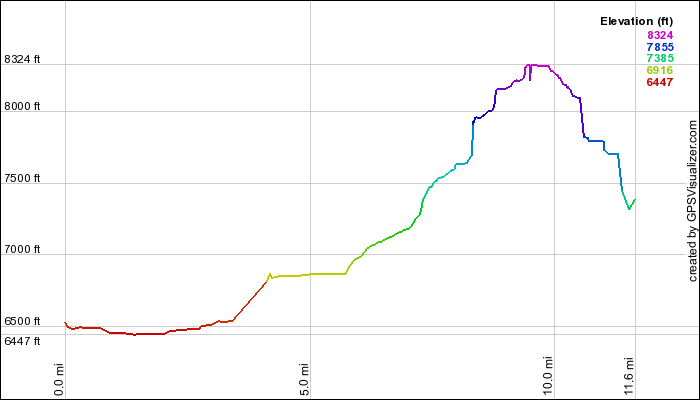
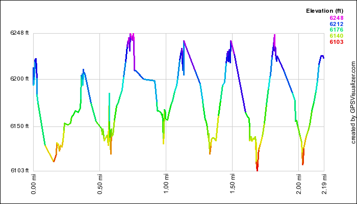
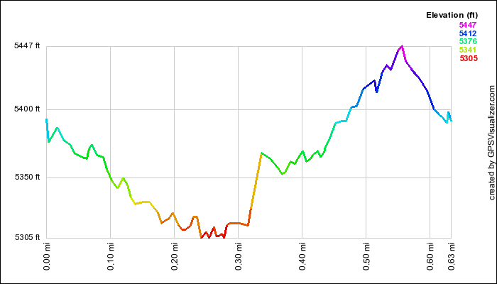
In ten days, we explored Mount St. Helens National Volcanic Monument,  Mount Rainier National ParkOlympic National Park, and Seattle.  We put 2020 miles on the car, and 39.7 miles on our feet.  At that, there was still more that we could've explored had there been more time to do so.  Below is a route of our trip.


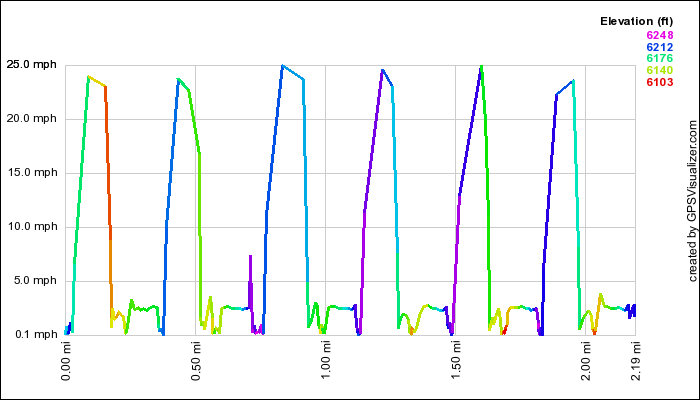
Map Courtesy of GPS Visualizer

Highlights

Whew... we sure packed in a lot of stuff into our Washington tour.  Not bad for planning this trip just a couple of days before leaving.  It's a good thing we had ten days to do all of it:
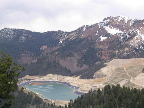
  • Mount Saint Helens National Volcanic Monument:
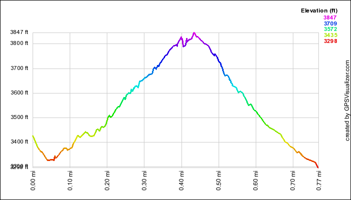
    • Ape Cave Hike (Longest Lava Tube in the United States)
    • Trail of Two Forests Hike
    • Miner's Car Exhibit
    • Meta Lake Hike
    • Windy Ridge Hike
  • Mount Rainier National Park
    • Twin Firs Loop Hike
    • Nisqually Glacier Vista Hike
    • Box Canyon Hike
    • Trail of the Shadows Hike
    • Carter/Madcap Falls Hike
    • Myrtle Falls Hike
    • Christine Falls
    • Narada Falls
    • 2006 Flood Damage Presentation (18 inches / 24 hours = Millions of dollars of damage!)
  • Olympic National Park
    • Second Beach Hike
    • Rialto Beach Hike
    • Perseids Meteor Shower
    • Hoh Rain Forest Hike
    • Sol Duc Falls Hike
    • Hurricane Ridge Hike
  • Lewis River Waterfalls
    • Lower Falls
    • Middle Falls
    • Upper Falls
    • Taitpatum Falls
    • Copper Creek Falls
    • Big Creek Falls
  • Seattle, WA
    • Space Needle
    • Woodland Park Zoo
    • Seattle Acquarium
    • Children's Museum
    • Pioneer Square
    • Seattle Center
    • Puget Sound Ferries

Lowlights

We were actually favored with excellent weather conditions for the most part.  While the Olympic Peninsula is the wettest place in the contiguous 48 states, there was just a little bit of rain while we were driving to our campground, but by the time we arrived, the skies were opening up.  We spent almost three days there, and never got a drop of rain on us!  In fact, we spent almost all of our time west of the Cascades, and we only got a little drizzle of moisture on our first day.  Also, there were very few bugs and mosquitos to deal with.  Otherwise, we were favored with sunny skies and idyllic temperatures.  Even so, there were a few things that could've gone better.  Here is a small list of complaints:
  • Not enough time to see everything!
  • Mount Saint Helens gave us just a peek of a view through the clouds
  • Mount Rainier spent most of the time in the clouds

Favorites

Here's what each family member said was their absolute favorite activity of the trip:

Raymond:Space Needle (Seattle)
Amelia:Rialto Beach (Olympic NP)
Suzanne:Waterfalls (All over the place!)
Mike:Nisqually Glacier (Mt. Rainier NP)

Takeaways

Here are a few final thoughts from our vacation:
  • Washington truly is the Evergreen state.  We drove for days and days and days, and it seemed like we were in one giant forest the whole time.  Even the Seattle area is loaded with trees on every square inch of land that hasn't already been developed.
  • Washington has a lot of water.  We lost count of the number of waterfalls that we saw, but I'm sure it was probably somewhere around twenty!  Of course, this shouldn't have surprised us... to be the Evergreen State, you need lots of water.  We found it very difficult to pick a favorite waterfall... each one has its own special charm.  
  • There is a lot of fun stuff to do in Seattle.  We only gave ourselves one day in our itenerary,  ended up spending two days, and then wished we would've had three!  Our city-boy, Raymond, was really disappointed to leave!
  • The beach is a great place for a meteor shower... especially if it's at the peak of the best meteor shower of the year, which this year happened to coincide with a new moon!  We could see gobs of stars, and a great assortment of meteors.
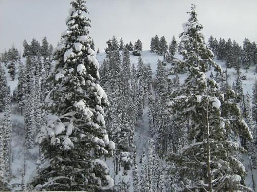
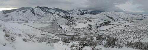
  • Olympic National Park is huge!  It is very difficult to access this park, but it is well worth the effort.  95% is designated as wilderness area, so we just got to see the highlights from the road, and that took us nearly three days.  Olympic protects 75 miles of pristine Washington coastline, and only a few small points are accessible by car... And the rest?  By backpack and foot only!  The range is simply spectacular, and both Mike and Suzanne agreed that we felt like breaking out in singing "The Sound of Music" for their majestic Alps-like appearance.

Photos

As you've come to expect from the Lewis Family, there are loads of pictures to wade through from our vacation.  We've uploaded the following five albums consisting of over 300 pictures!  

Wednesday, June 13, 2007

Elk Mountain Drive

While it was a short drive that we did to wait out some stormy clouds, we were treated to some wonderful views of the Sawtooth Mountains, Stanley Lake, and Elk Meadow from this little drive.  


GPS Info

We collected all of the following data from our GPS unit during the adventure:

Maps


This Google Map is provided by GPS Visualizer


Elevation Profile


This profile is provided by GPS Visualizer


Coordinates and other details

  • Mileage: 
  • Time:  
  • Average: 
  • Starting Coordinates:  
  • Ending Coordinates
3.1 Miles
32:38
6 Miles/Hr.
N 44º 14.752, W 115º 03.964
N 44º 15.297, W 115º 04.122


If you would like to use this info with your GPS unit, the full GPX file is here.
If you want to view this in Google Earth, you can download the KMZ files of the track and topographic overlay.

Eightmile Creek Drive

This is a drive we'd have never found had it not been for geocaching.  While exploring the history of the Yankee Fork area, we thought we'd try to find some geocaches.  While we never did find this geocache, it took us along a fascinating road, high up the windy Estes Mountain road, with sweeping views of the mountains and a huge open-pit mine.  We couldn't reach the 9600-foot top of the mountain, where the geocache was, because a large tree had not been cleared from the road during the previous winter.  We had to settle on 8400-foot views of the surrounding area instead.


Now defunct, this is a picture of the cyanide lake at the site of the disappointing and devastating Grouse Creek open-pit gold mine operated by the Hecla Mining Company.  (The interesting white-colored pattern on the lake is caused by sprinklers... we're guessing that these are used to help aeriate or dilute the toxic lake.)


GPS Info

We collected all of the following data from our GPS unit during the adventure:

Maps


This Google Map is provided by GPS Visualizer


Elevation Profile


This profile is provided by GPS Visualizer


Coordinates and other details

  • Mileage: 
  • Time: 
  • Average Speed:   
  • Beginning Coordinates:  
  • Ending Coordinates
11.7 Miles
01:01:04
11 Miles/Hr.
N 44º 23.249, W 114º 41.799
N 44º 26.313, W 114º 42.590
 
If you would like to use this info with your GPS unit, the full GPX file is here.
If you want to view this in Google Earth, you can download the KMZ files of the track and topographic overlay.

Dice Tower East

Well, this is a rarity of a vacation as far as the Lewis Family is concerned.  There is nothing outdoorsy or campish about this one.  So why...