Mike and Raymond went with a group of scouts on a backpack trip to Barlcay Lake in the Mt. Baker-Snoqualmie National Forest. While there were only two scouts who came, it was a very fun outing, since James Howell's cousins from Ireland came along as well. While I've hiked this trail a couple of times, this was probably my favorite time, since we woke up to a beautiful calm lake and a sun-drenched Baring mountain facing us right across the lake. While it took us quite a while to start a fire, because of the wet wood, James Howell and Ben Prior were persistent and got a pretty decent blaze going in the end. In the morning, most of the group took a swim in a nice little swimming hole at the outlet of the lake. Raymond and I excluded ourselves, because we figured that swimming in recent snow melt just wasn't our idea of a good time. On the way back home, we enjoyed some awesome pizza at Rico's Pizza in Gold Bar. We recommend the Carribean (BBQ chicken) and the International (Combination). Both were delicious!

Photos and Videos
Here is an online album of photos and videos. The videos comprise a swim that some of the group did in a nice little swimming hole at the outlet of the lake.
GPS Info
Here is the GPS data collected during the trip:Maps
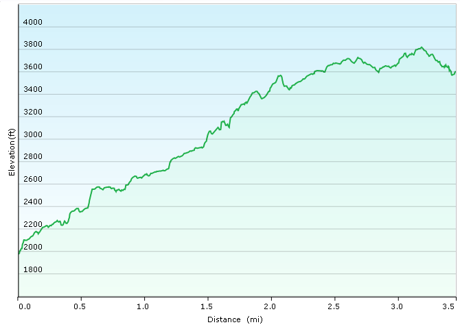
Elevation Profile

Coordinates and other details:
| 1.7 Miles (one way) 0:49:28 2.1 MPH N47 47.523 W121 27.543 |
If you would like to use this info with your GPS unit, the full GPX file is here.
If you want to view this in Google Earth, you can download the KMZ files of the track and topographic overlay.