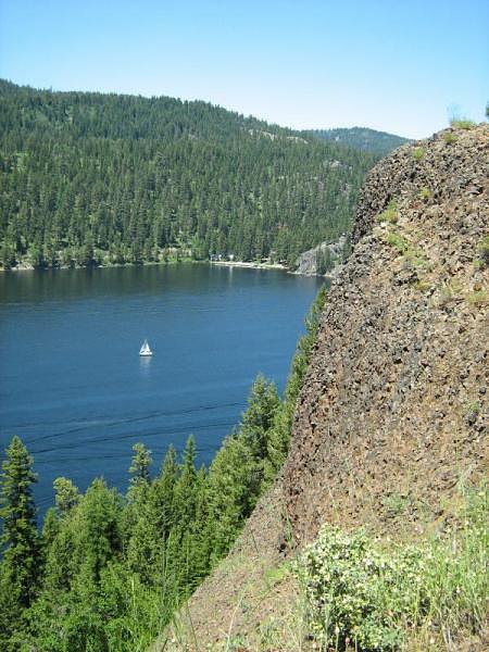
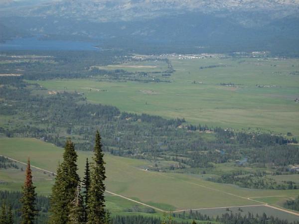
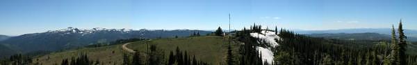
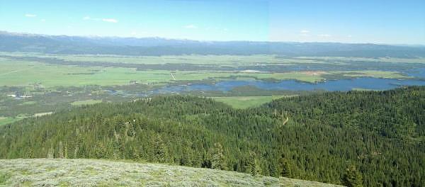
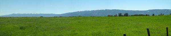
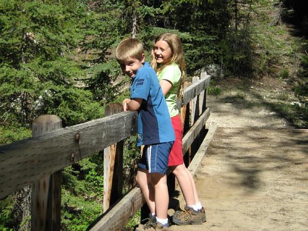
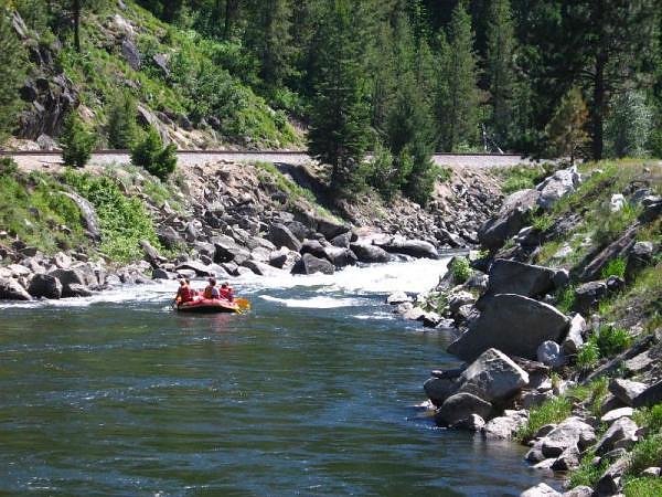
On the last day of a camping trip near Cascade, Idaho, we ventured up to some uncharted territory. We went through McCall and the lovely Payette Lake to the less-crowded Upper Payette Lake for a picnic lunch, and some photos, of course. One of Idaho's many fires last year had affected the Upper Payette, but it was still a lovely drive.
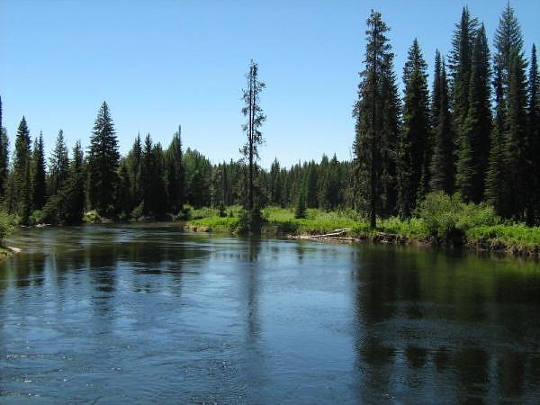
North Fork Payette River between Upper Payette Lake and Payette Lake.
GPS Info
We collected all of the following data from our GPS unit during the adventure:Maps
This Google Map is provided by GPS Visualizer.
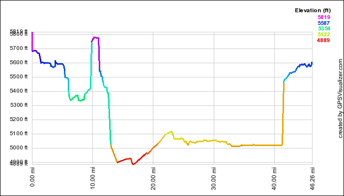
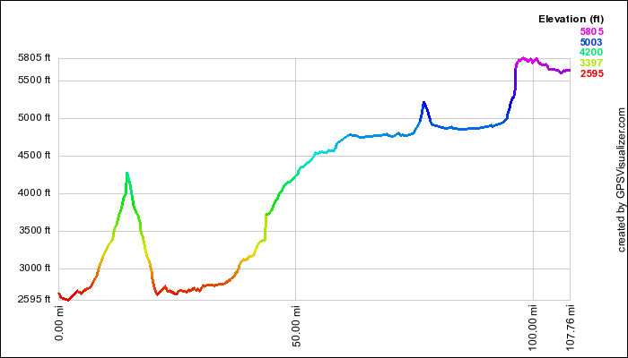
This profile is provided by GPS Visualizer.
If you would like to use this info with your GPS unit, the full GPX file is here.
If you want to view this in Google Earth, you can download the KMZ files of the track and topographic overlay.
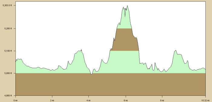
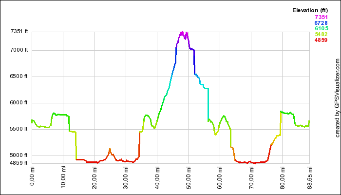
Elevation Profile
This profile is provided by GPS Visualizer.
Coordinates and other details
| 46.3 Miles 01:41:32 27 Miles/Hr. |
If you would like to use this info with your GPS unit, the full GPX file is here.
If you want to view this in Google Earth, you can download the KMZ files of the track and topographic overlay.