When we found out that there were 17 geocaches at Eagle Island State Park, located between two forks of the Boise River, we were excited to explore and find. We were a perfect 5-for-5 on the day for caches we hunted, but there are still a dozen left to find... guess we'll just have to head out there another day!
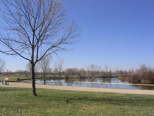
Lake on Eagle Island at the beginning of our geocache adventure.
GPS Info
We collected all of the following data from our GPS unit during the adventure:Maps
This Google Map is provided by GPS Visualizer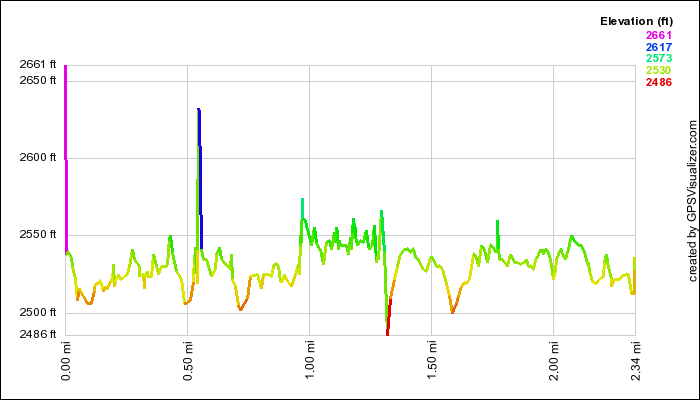
This profile s provided by GPS Visualizer
If you would like to use this info with your GPS unit, the full GPX file is here.
If you want to view this in Google Earth, you can download the KMZ files of the track and topographic overlay.
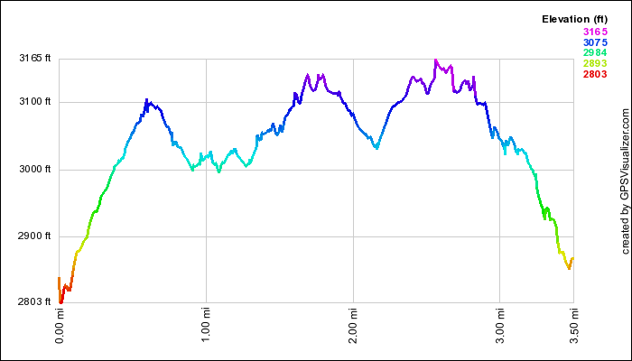
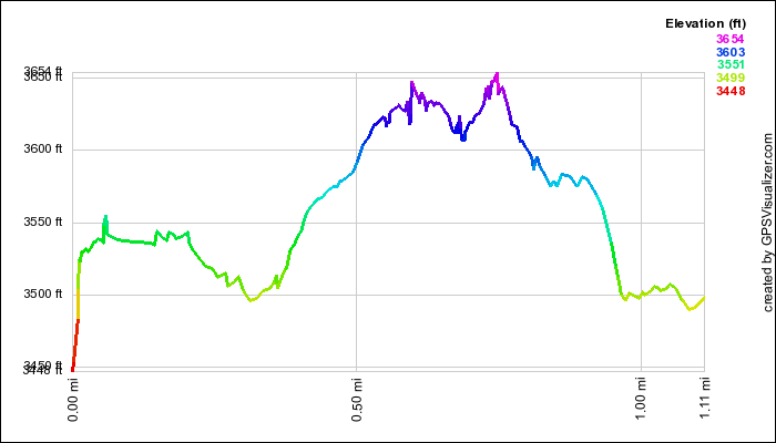
Elevation Profile
This profile s provided by GPS Visualizer
Coordinates and other details
| 2.3 Miles 1:41:46 1.4 Miles per Hour N 43 41.140 W 116 24.043 |
If you would like to use this info with your GPS unit, the full GPX file is here.
If you want to view this in Google Earth, you can download the KMZ files of the track and topographic overlay.