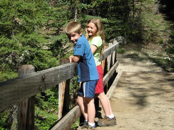
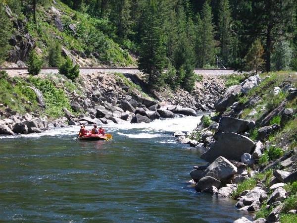
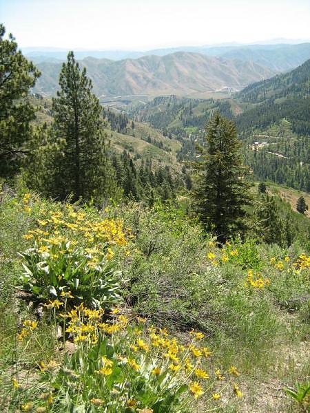
The aptly-named Long Valley is over 42 miles long, and only about 6 miles wide at its widest. We could not stop taking pictures of this beautiful valley near our campground in the Payette National Forest. The highlight was discovering No Business Lookout, which we would have never discovered had we not been encouraged by a geocache... one of the biggest benefits to geocaching is finding some of the amazing places that you'd never stumble upon on your own!
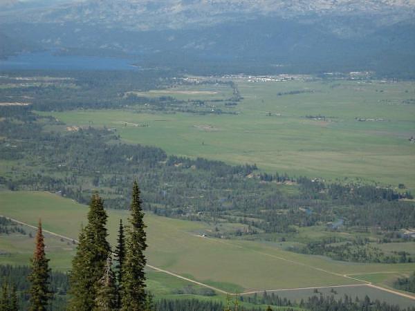
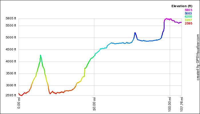
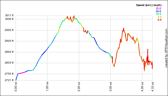
Looking north from No Business Lookout towards Lake Payette and McCall on the north end of Long Valley. According to the profile below, the lookout is about 2500 feet in elevation above the valley floor, which makes for a most impressive view!
Views
There were lots of panoramic opportunites. Here are a few that we stitched together: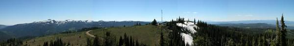
Looking West from No Business Lookout towards Council Mountain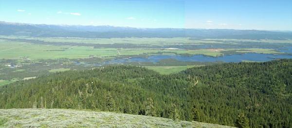
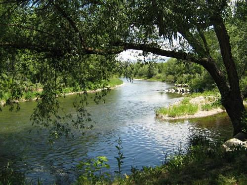
Looking South from No Business Lookout towards Cascade Lake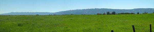
Long Valley Panorama
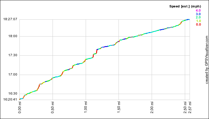
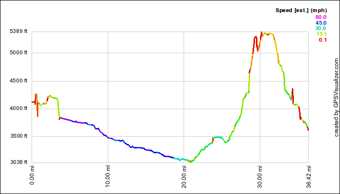
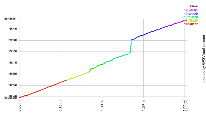
GPS Info
We collected all of the following data from our GPS unit during the adventure:Maps
Elevation Profile
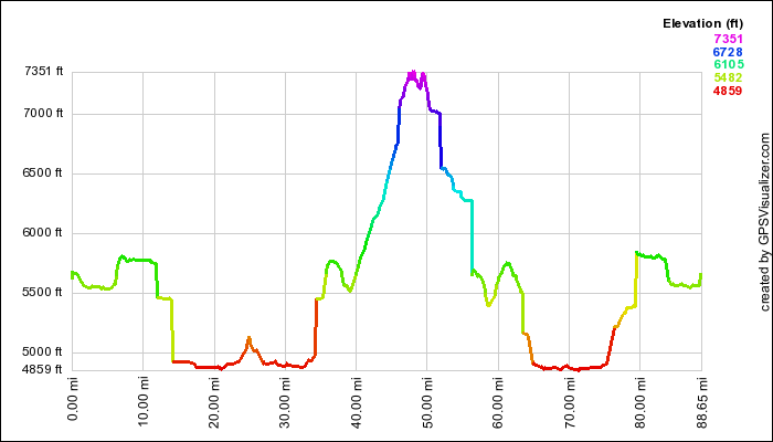
This profile is provided by GPS Visualizer.
Coordinates and other details
| 88.7 Miles 05:00:05 18 Miles/Hr. |
If you would like to use this info with your GPS unit, the full GPX file is here.
If you want to view this in Google Earth, you can download the KMZ files of the track and topographic overlay.