We did our first family backpacking trip this summer to the Seven Lakes Basin in Oympic National Park. Our three-day itinerary included more than 20 miles of hiking through jaw-dropping wilderness scenery that included panoramic scenes from the High Divide Trail as well as the aptly named basin, which actually has more than seven lakes in it. We had encounters with deer at both of our campsites (we should've known when we camped by Deer Lake on our first night!) While in the basin, we had a black bear stalk us for a few miles. Mia spotted him high up on a mountain slope, and then we ran into him again near a trail junction. It seemed like he was pretty curious about us, but once he got a good look, he allowed us to continue unimpeded.
While hiking the exposed High Divide trail, we enjoyed a cloudy day that kept us a bit cooler and less prone to sunburning, but that night, those same clouds dropped down into the valley below us treating us to an amazing canopy of stars in a moonless sky. In the morning, we awoke to the spectacular sight of Mount Olympus bathed in early morning sunlight, lifted above a bank of thick fog that had rolled into the valley.
Click here for the photo album. BTW, we counted up nine lakes along the way.

Raymond looks out on Lunch Lake, just one of the beautiful lakes in the Seven Lakes Basin
GPS Info
We collected all of the following data from our GPS unit during the adventure:Maps
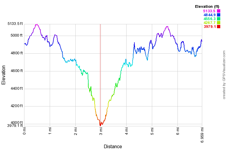
Elevation Profile
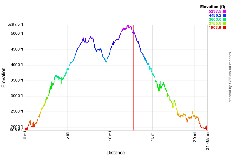
This profile is provided by GPS Visualizer
Coordinates and other details
|
If you would like to use this info with your GPS unit, the full GPX file is here.
If you want to view this in Google Earth, you can download the KMZ files of the track and topographic overlay.