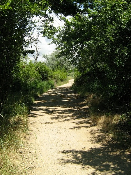
An interesting name for a road, we spent some time exploring this drive while it was raining. It sure beat hanging out in the tent! There were some great views of Stanley, ID as well as some neat old cabins. We practically had the whole road to ourselves except for a couple of forest rangers that we passed early on. We took an opportunity to do a little hike along here as well before it started raining to stretch our legs and enjoy a really nice view as well... so the GPS track includes both the drive and the hike.
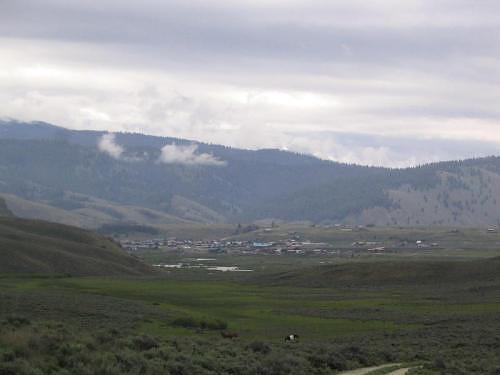
View of Stanley from Nip and Tuck Road. (Don't worry, the road wasn't all that scary as its name makes it out to be.)
GPS Info
We collected all of the following data from our GPS unit during the adventure:Maps
This Google Map is provided by GPS Visualizer
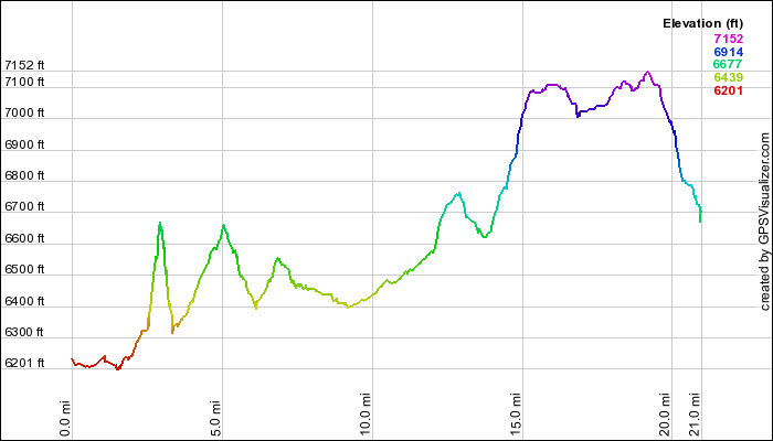
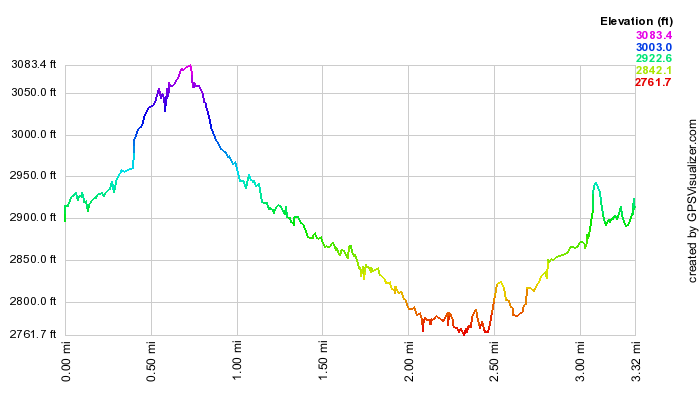
This profile is provided by GPS Visualizer
If you would like to use this info with your GPS unit, the full GPX file is here.
If you want to view this in Google Earth, you can download the KMZ files of the track and topographic overlay.
Elevation Profile
This profile is provided by GPS Visualizer
Coordinates and other details
| 19.4 Miles 02:13:37 9 Miles/Hr. N 44º 13.957, W 114º 55.165 N 44º 13.983, W 114º 56.035 |
If you would like to use this info with your GPS unit, the full GPX file is here.
If you want to view this in Google Earth, you can download the KMZ files of the track and topographic overlay.