Well, the weather is improving nicely, and so we took advantage of the Mothers' Day weekend to talk a stroll along the Boise River Greenbelt between Ann Morrison Park and Julia Davis Park, with Boise State University along the way. We also took the opportunity to stop by the Idaho Ann Frank Human Rights Memorial for a few minutes... something we haven't seen since moving to Boise. Turns out, we weren't the only ones with the idea. Cyclists, joggers, skateboarders, roller bladers, and strollers like ourselves were out in force.
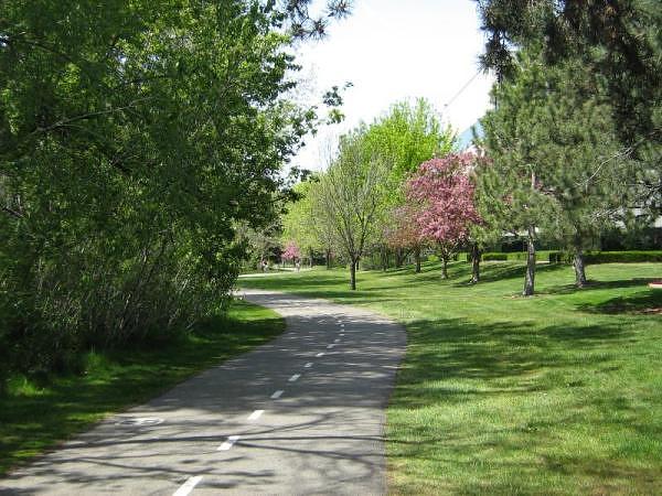
Boise River Greenbelt at the NW 0.3 marker (as seen in the white circle in the bottom left of the picture)
GPS Info
We collected all of the following data from our GPS unit during the adventure:Maps
This Google Map is provided by GPS Visualizer
This profile is provided by GPS Visualizer
If you would like to use this info with your GPS unit, the full GPX file is here.
If you want to view this in Google Earth, you can download the KMZ files of the track and topographic overlay.
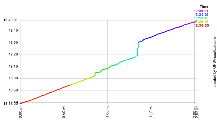
Time Profile
This profile shows our relative rate of travel. Steeper portions of the curve are slower. For example, the steep light blue curve shows the 10 minutes that we stopped at the Anne Frank memorial.This profile is provided by GPS Visualizer
Coordinates and other details
| 2.0 Miles 1:10:06 1.7 Miles/Hr. N 43 36.730, W 116 13.065 |
If you would like to use this info with your GPS unit, the full GPX file is here.
If you want to view this in Google Earth, you can download the KMZ files of the track and topographic overlay.


